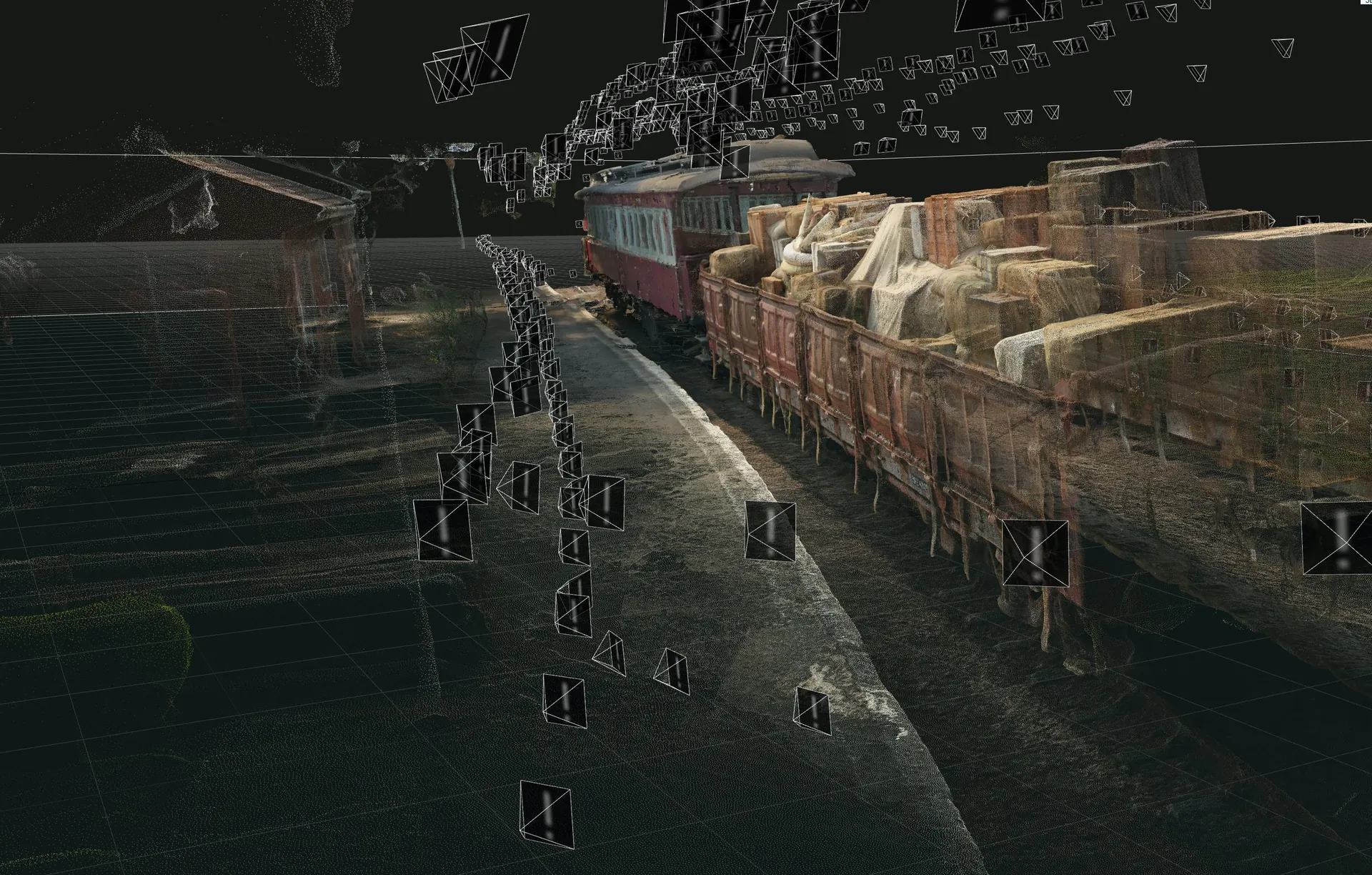
LIDAR and photogrammetry for VFX.
Real locations scanned into accurate 3D models, for set extension, previs and VFX. Photogrammetry from our own drones; industrial LIDAR with Horts Geo-Solutions.
In visual effects, authenticity is paramount. Drone photogrammetry has become a valuable tool in film making, allowing real-world environments to be digitally replicated with precision.
Virtual set extension: filmmakers use photogrammetry to make detailed 3D models of real places. These models are then extended or enhanced digitally to create large virtual sets, like vast landscapes or complex cityscapes, without needing to build them physically.
Photogrammetry is key in previsualisation (previs) workflows, where early versions of scenes help plan camera angles, movements and visual effects. By creating 3D models of locations or sets, filmmakers can experiment with different shots before filming starts.
LIDAR (Light Detection and Ranging) systems use laser pulses to measure distances to objects, creating highly accurate 3D models of environments. We've partnered with Horts to bring industrial LIDAR capabilities to the film industry.
In partnership with Horts Geo-Solutions.
From the drone to the model.
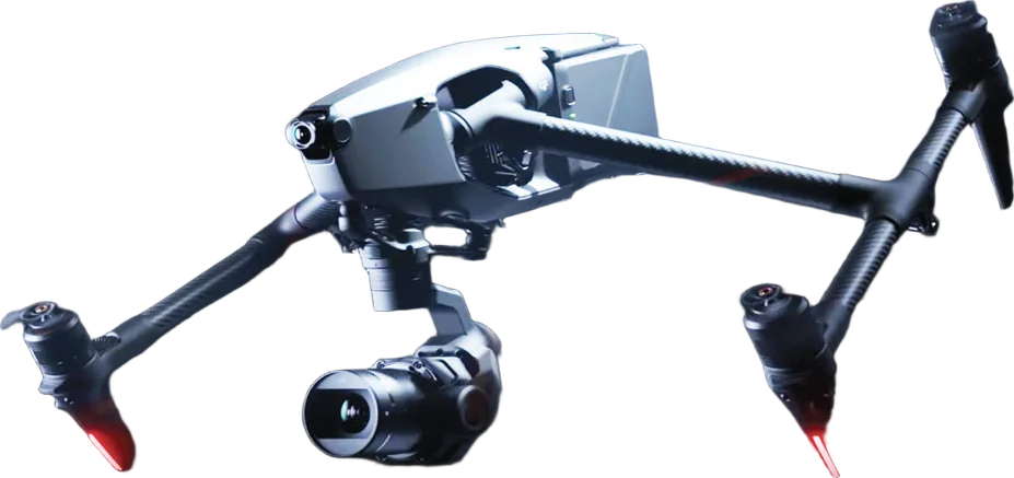
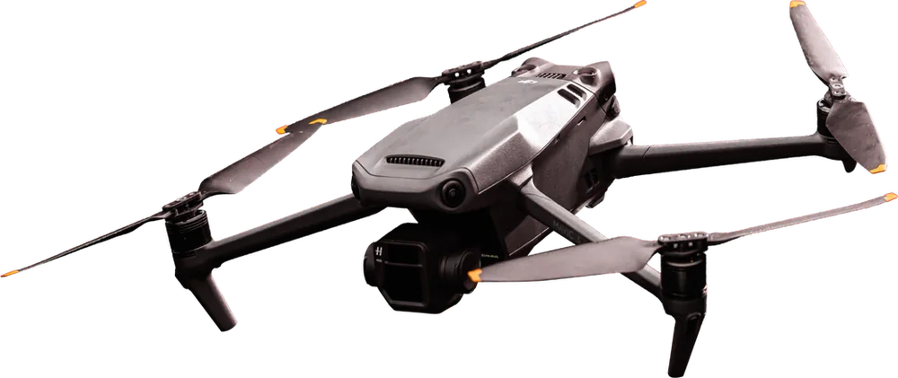
What flies it.
More capabilities
Planning a shoot?
Send the dates, the location and what you're filming. We'll come back with a recommended setup, the crew and a quote.
Or call +27 82 416 0989 · email info@skyhook.co.za